.svg)
File:Hungary local administration.png
Size of this preview: 220 × 141 pixels. Other resolutions: 320 × 205 pixels | 500 × 320 pixels | 1,601 × 1,025 pixels.
Original file (1,601 × 1,025 pixels, file size: 126 KB, MIME type: image/png)
Summary
| Description |
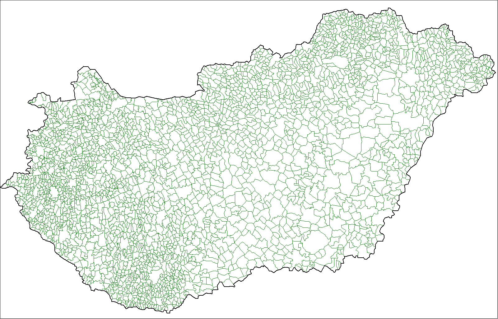
English: Map of the local administrative units of Hungary (városok, községek, and megyei jogú városok). |
| Date | |
| Source | Own work, using MapInfo Professional v8.5 and various mapping resources. |
| Author | Rarelibra (talk · contribs) |
Licensing
| This work has been released into the public domain by its author, I, Rarelibra. This applies worldwide. In some countries this may not be legally possible; if so: I, Rarelibra grants anyone the right to use this work for any purpose, without any conditions, unless such conditions are required by law. |
File history
Click on a date/time to view the file as it appeared at that time.
| Date/Time | Thumbnail | Dimensions | User | Comment | |
|---|---|---|---|---|---|
| current | 23:02, 9 July 2007 | | 1,601 × 1,025 (126 KB) | wikimediacommons>Rarelibra | Finished. |
File usage
The following page uses this file: