.svg)
File:ISAF map.svg

Size of this PNG preview of this SVG file: 220 × 94 pixels. Other resolutions: 320 × 136 pixels | 500 × 213 pixels | 880 × 374 pixels.
Original file (SVG file, nominally 880 × 374 pixels, file size: 1.16 MB)
Summary
| Description |
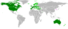
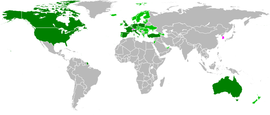
English: Map of countries currently contributing troops to ISAF as of 5 March 2010. Major contributors (over 1000 troops) in dark green, other contributors in light green, and former contributors in magenta. Information source: http://www.isaf.nato.int/images/stories/File/Placemats/20100303%20Placemat.pdf |
| Date | |
| Source | |
| Author |
|
Licensing
| I, the copyright holder of this work, release this work into the public domain. This applies worldwide. In some countries this may not be legally possible; if so: I grant anyone the right to use this work for any purpose, without any conditions, unless such conditions are required by law. |
File history
Click on a date/time to view the file as it appeared at that time.
| Date/Time | Thumbnail | Dimensions | User | Comment | |
|---|---|---|---|---|---|
| current | 22:42, 30 March 2010 | | 880 × 374 (1.16 MB) | wikimediacommons>JokerXtreme | Converting yellow to magenta. Hopefully this will be easier to distinguish. |
File usage
The following page uses this file: