.svg)
Thega River
This article needs additional citations for verification. (July 2013) |
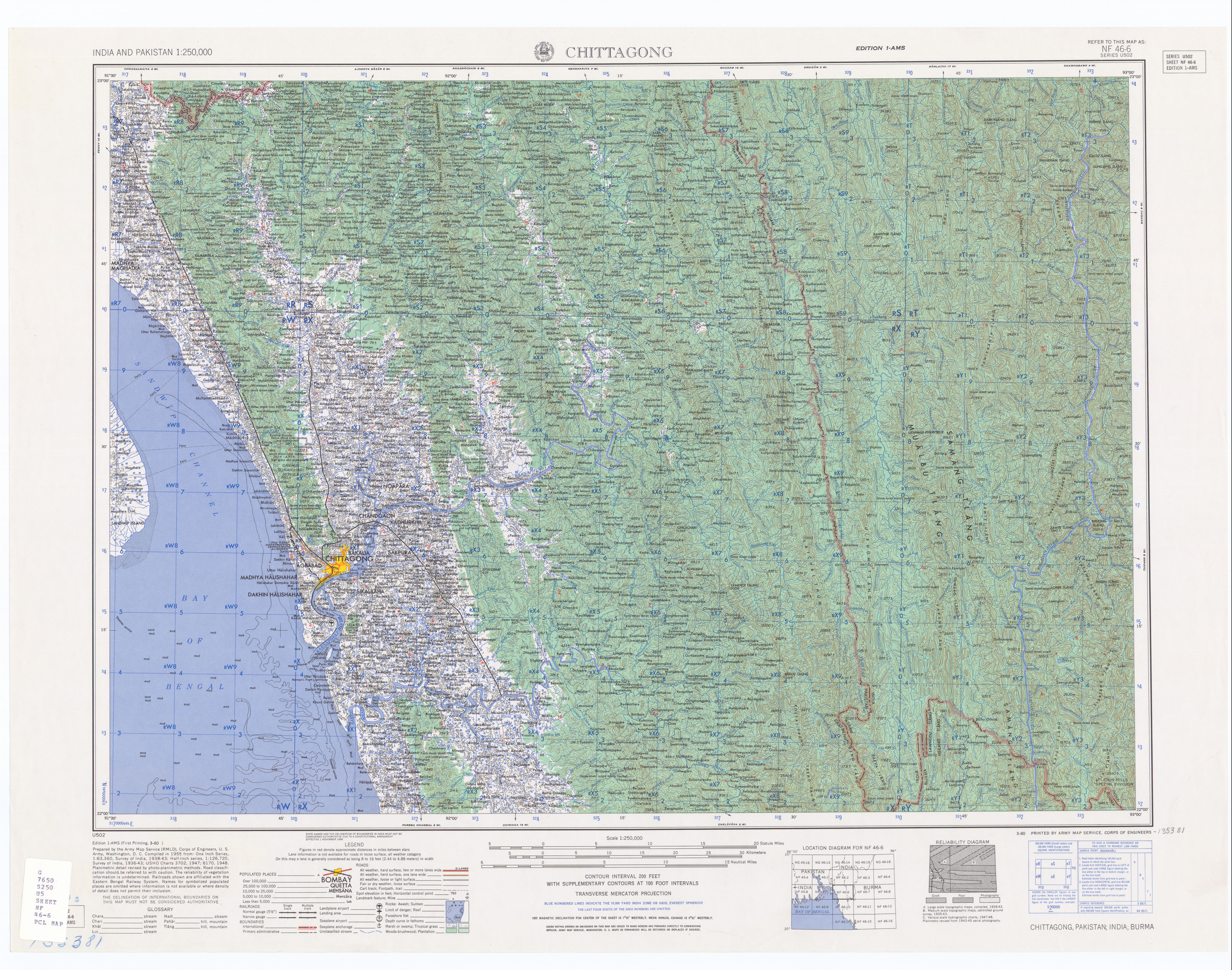
The Thega River (Thega Khāl, Kawrpui Lui or Kawrpui River) is a river lying mostly between eastern Bangladesh and Mizoram, India.[1] The Thega River flows northwards and exits into the Karnaphuli River at 22°52′43″N 92°26′52″E / 22.87861°N 92.44778°E. Its originates from Myanmar(Burma) and is one of the main tributaries of the Karnafuli.[2]
Notes[edit]
- ↑ "NF 46-6, Chittagong, Pakistan; India; Burma" topographic map, Series U502, U.S. Army Map Service, March 1960
- ↑ HS Mozaddad Faruque (2012), "Chittagong Region River System", in Sirajul Islam and Ahmed A. Jamal (ed.), Banglapedia: National Encyclopedia of Bangladesh (Second ed.), Asiatic Society of Bangladesh
{{citation}}: CS1 maint: uses authors parameter (link)
Template:Hydrography of Mizoram
 |